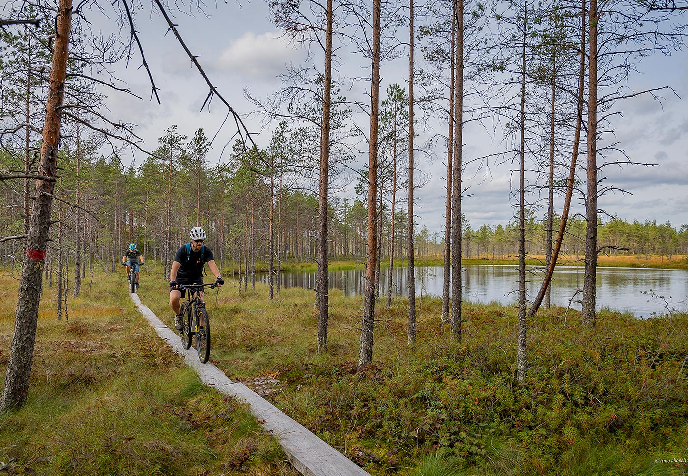
Trails
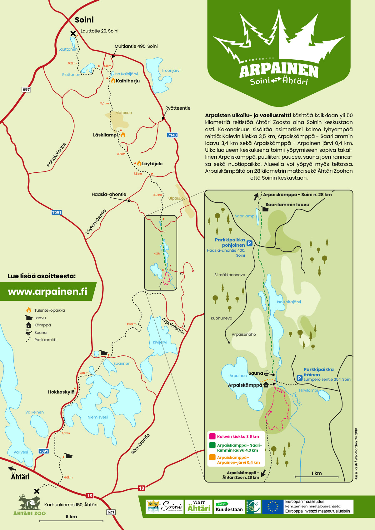
The Arpainen trail runs from the Ähtäri Zoo all the way to the centre of Soini municipality, totalling a distance of over 50 kilometres. Arpaisjärvi itself (where the Arpaiskämppä wilderness hut and the Saarilampi shelter are located) can also be reached by car.
The most popular part of the trail network is located around Arpaisjärvi lake, where there are three relatively short trails (Arpaiskämppä wilderness hut – Saarilampi shelter 4.3 km, Kalevin kiekka loop 3.5 km, and Arpaiskämppä wilderness hut – Arpainen lake 0.4 km).
The section between Arpainen – Ähtäri is currently partly poorly cleared, to be done in the near future. The trail Soini – Arpainen (28 km) is in good condition.
Please note, that there is no general winter maintenance on the trails.
More detailed trail descriptions can be found at the bottom of the page.
Open the trail network map (PDF)
E6 long-distance paths
The Arpainen trail is part of the European E6 long-distance path network.
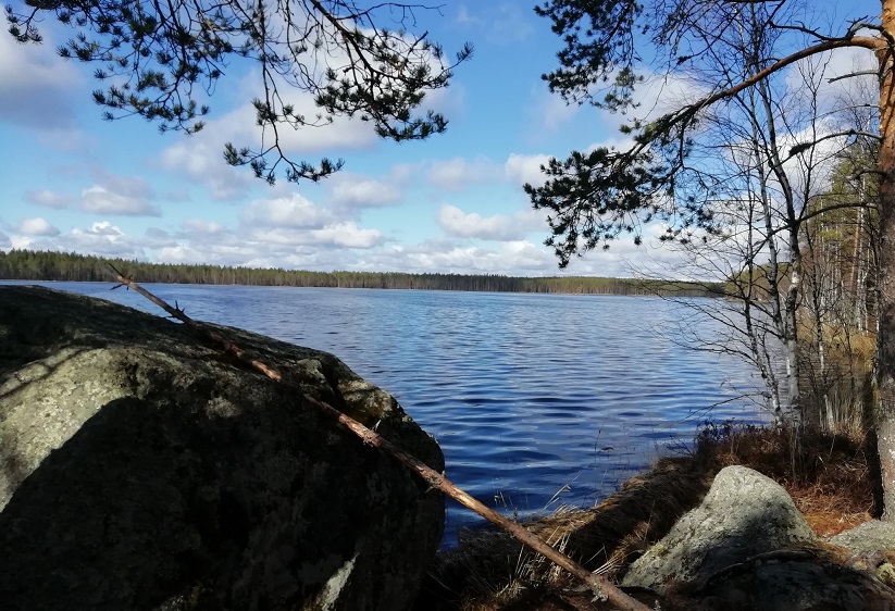
A narrow, winding path runs from the hut and pass the firewood shed to the Arpainen lake, which gets plenty of sun in the afternoon and in the evenings.
The trail, running in a north-south direction, starts at the Arpaiskämppä wilderness hut by the northern edge of the Arpaistenkangas esker delta.
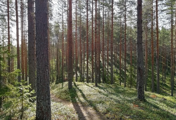
The Kalevin kiekka loop runs clockwise on the Arpaistenkangas ridge, which is a wide esker delta formed of gravel and sandy soils at the southernmost tip of the ridge chain.