Arpaiskämppä wilderness hut – Saarilampi shelter 4.3 km
The trail, running in a north-south direction, starts at the Arpaiskämppä wilderness hut by the northern edge of the Arpaistenkangas esker delta.
The tallest part of the ridge is 208 metres above sea level and over 15 metres above the surface of the lake. The tall 1.3 km section of the ridge ends on Käärmekukkula hill. The area in between the northern end of the Iso Koirajärvi lake and the Saarilamminharju ridge is lower.
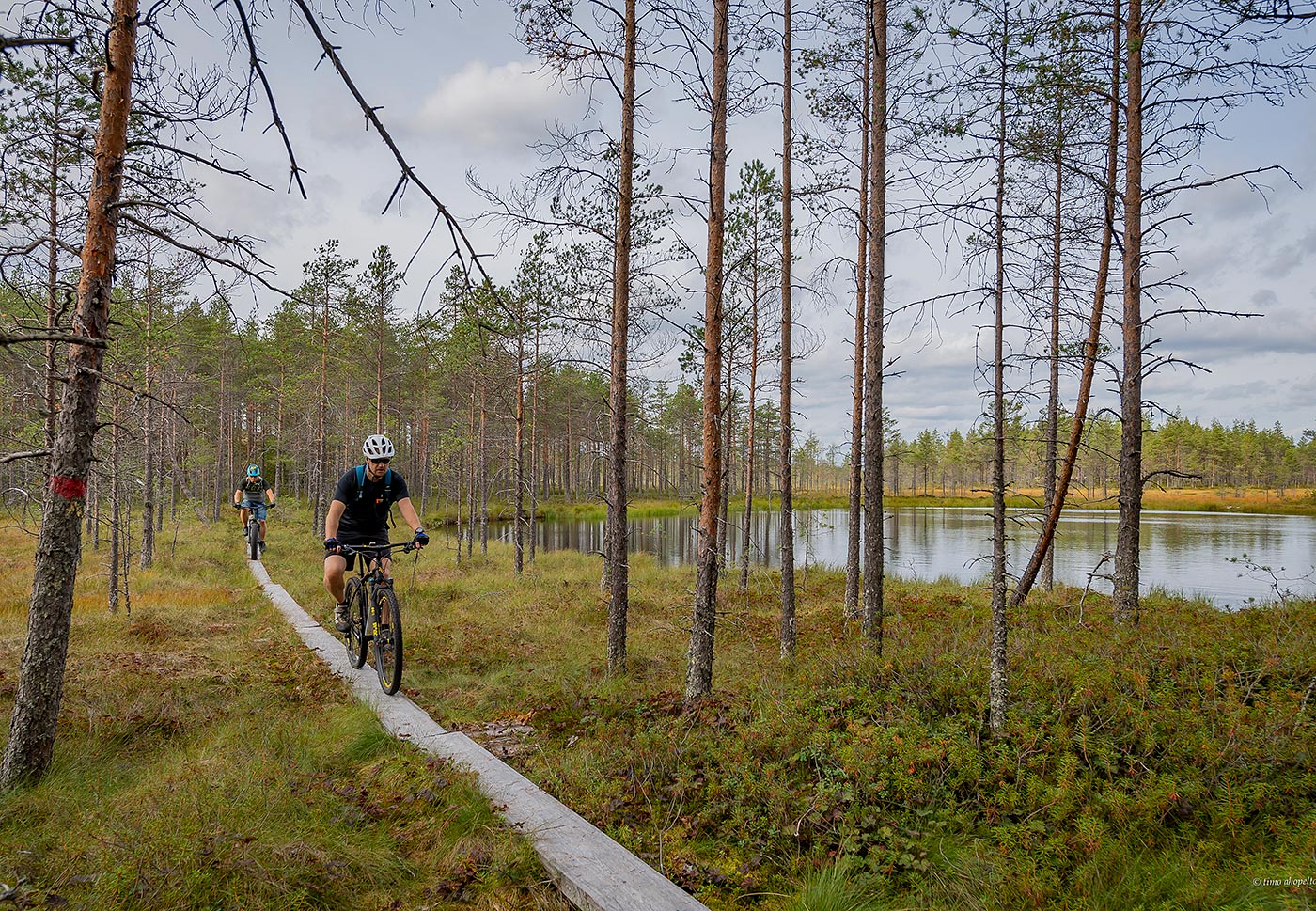
The Saarilamminharju ridge starting by the northern parking lot is a prototypical example of the ridge terrain, running narrow and with steep slopes across peatlands and boggy terrain at a height of approximately 12 to 13 metres. The path is broad and even, marked with blue posts.
INFO
Location: Ähtäri – Soini, Southern Ostrobothnia
Difficulty: Easy
Length: 4.3 km, linear route
Starting point: Arpaiskämppä wilderness hut N62 41.665 E24 23.012
Duration: 1.15 hours
The trail is suitable for all ages. The northern parking lot is by the trail. The Saarilampi shelter is 900 m away and the hut 3.4 km away.
3 FACTS
- travel a tall, narrow ridge
- get a good look around
- hear all-natural sounds