Kalevin kiekka loop 3.5 km
The Kalevin kiekka loop runs clockwise on the Arpaistenkangas ridge, which is a wide esker delta formed of gravel and sandy soils at the southernmost tip of the ridge chain.
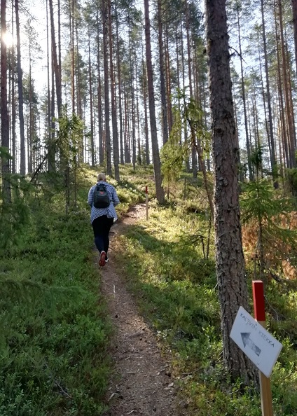
Marked with red-tipped posts, the Kalevin kiekka loop runs up and down the edges of the Arpaistenkangas esker delta.
The elevation of the trail is about 17 metres, being 193 to 210 m above sea level. The trail is an old training circuit for skiers that was originally marked in 1962.
INFO
Location: Ähtäri – Soini, Southern Ostrobothnia
Difficulty: Moderate
Length: 3.5 km
Starting point: Arpaiskämppä wilderness hut N62 41.665 E24 23.012
Duration: 1 hour
Despite its difficulty, the trail is suitable for all ages as sweating a little bit is only appropriate when traversing the ridge terrain.
- an amazing ridge landscape 1000m x 500m in size
- elevation differences
- sturdy old pine trees and fallen trunks